— Location overview

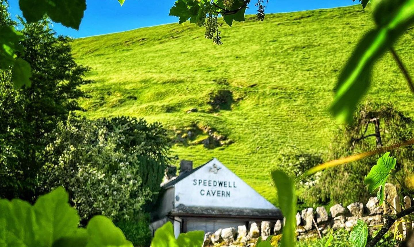
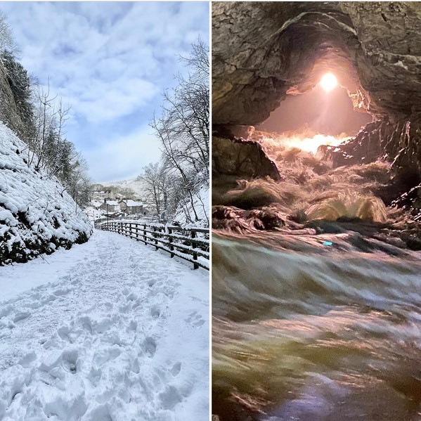
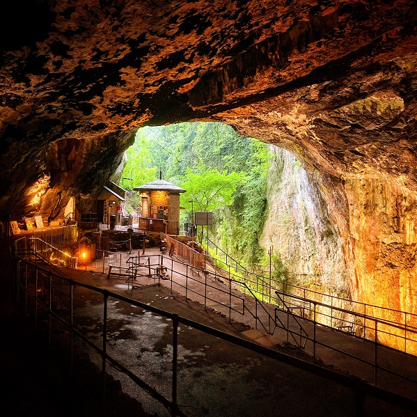
In the beautiful Peak District National Park

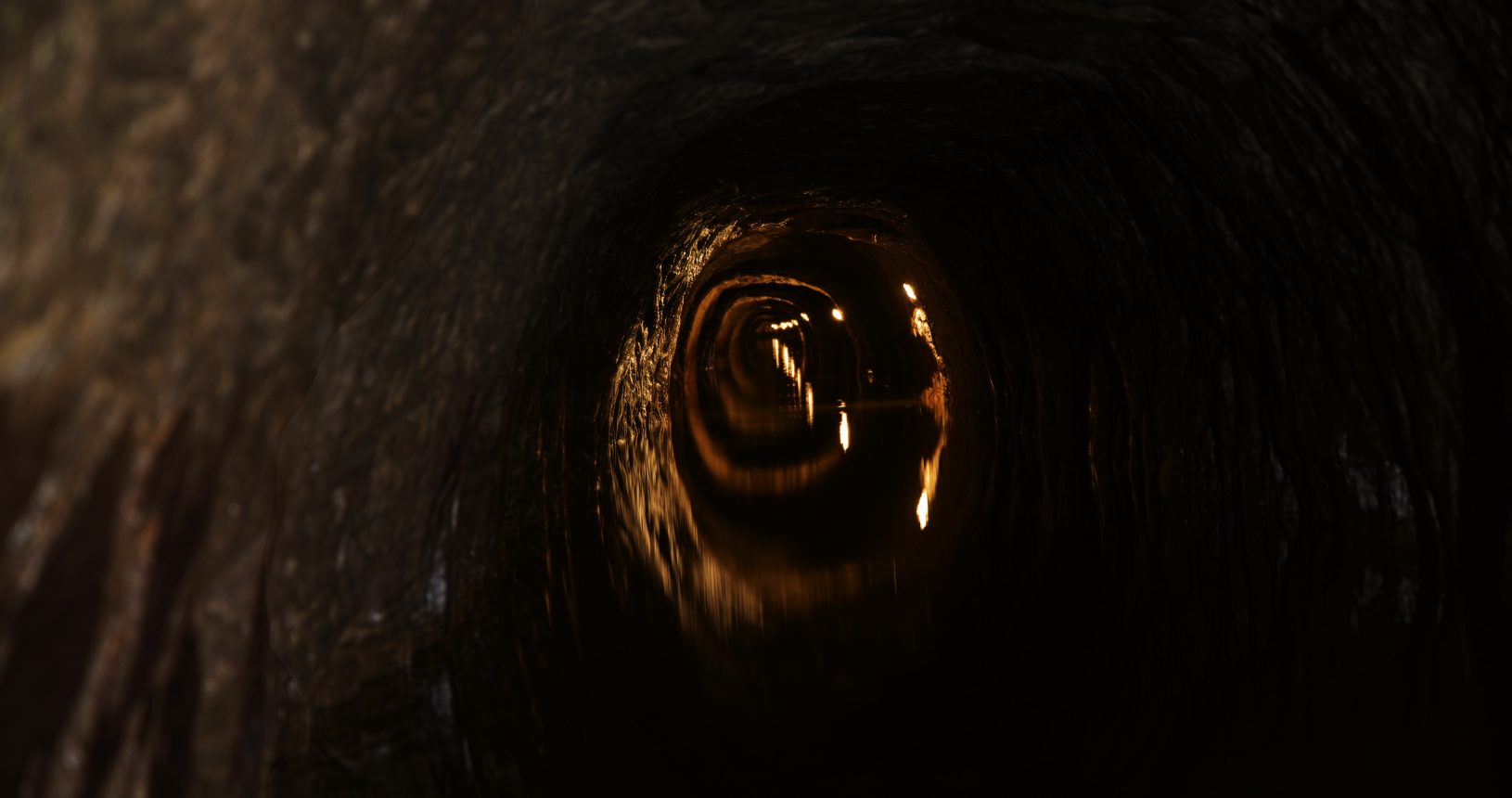
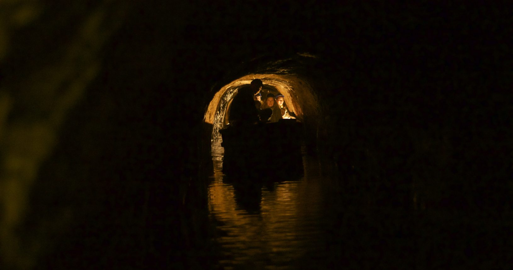
Set at the foot of the spectacular Winnats Pass, high above the village of Castleton, Speedwell Cavern takes you on an incredible underground boat journey.

— What to do

Decide what do you want to do in Castleton


  • Historic lead mine. Mining started in 1771 and continued on and off for about 20 years, by which time visitors were being taken round by boat (whilst work was still in progress).

  • Original entrance is a vertical shaft 28m deep, top marked by flagpole on car park.

  • Remains of blast holes in walls and ceiling 20-25cm long. 2 Miners drilled holes, one of them holding and rotating a drill, while the other hit it with a 6Kg sledge-hammer. Each hole took 2 hours to drill and 15 to 20 holes were needed for each blast. They were filled with black gun-powder, sealed with a clay bung and a straw fuse was used to fire the charges.

  • Progress was around 1.9m a week (a fathom). The passage took around 4 and a half years to complete.

  • The original steps were completed by 1778.

  • Passageway was driven in southerly direction to intersect several east-west running veins of lead whose existence was known about from surface outcrops.

  • According to old records £14.000 was spent on the whole concern. The returns are said to have been about £3.000. Hardly a financial success!

  • 1st vein of lead, “Little Winster” vein 1 m high 60 cm wide 37m long, probably yielding less than £100 worth of lead.

  • The “Half Way House”, extends 50m horizontally to the bottom of a 36m vertical shaft leading into a vast chamber almost 100m higher than level of the passageway. Miners had been there 240 years ago, although it unclear which way they got in.

  • The “Bellows Hole” is where a small boy would work all day pumping on a pair of blacksmiths bellows circulating the air.

  • 2nd vein of lead “The Longcliff” vein. Richest vein of lead yielding the majority of the £3000 worth of lead. Extends for half a mile to the east and quarter of a mile the west. Sealed off now as the workings were in a dangerous state.

  • Safety hole, as miners went further into the rock there was a need for a safety hole as work become more and more dangerous for shot-blaster.

  • 3rd and last vein of lead, “Poormans vein”, only yielded 3Kg of lead, used as a more adequate safety hole.

  • The “Bottomless Pit” Cavern is formed on “Foreside” or “Faucet” vein. The top of the chamber is some 50m above the platform, which is about 200m underground. One of the deepest caverns on British Isles. Behind boulders on top of ladders a passageway extends for 20m to the foot of a run-in shaft. It is unknown where it leads to and whether the miners knew about the existence of cavern before they broke into it.

  • The “Far Canal” extends for 250m in man-made form, then leads into a vast network of underground stream caverns and passageways, which are in total more than 13 miles long and even connect through to Peak Cavern, underneath Peveril Castle.

  • Miners used the “Bottomless Pit”, a large subterranean lake with a 250 square meter surface area, to dump about 2,500 tons of waste rock from the Far Canal. The lake is 30m below platform in normal conditions and used to be an estimated 60m deep. It is now only 11m deep because of the fill from the waste rock.

  • Before miners dropped waste rock in the Bottomless Pit the cavern used to be an estimated 150m high.

  • Water from the Bottomless Pit flows out of the “Russett Well”, a resurgence at the mouth of Peak Cavern Gorge in Castleton, which has never run dry in 450 years of recorded history.